
What Exactly Is a “Barangay” in the Philippines?

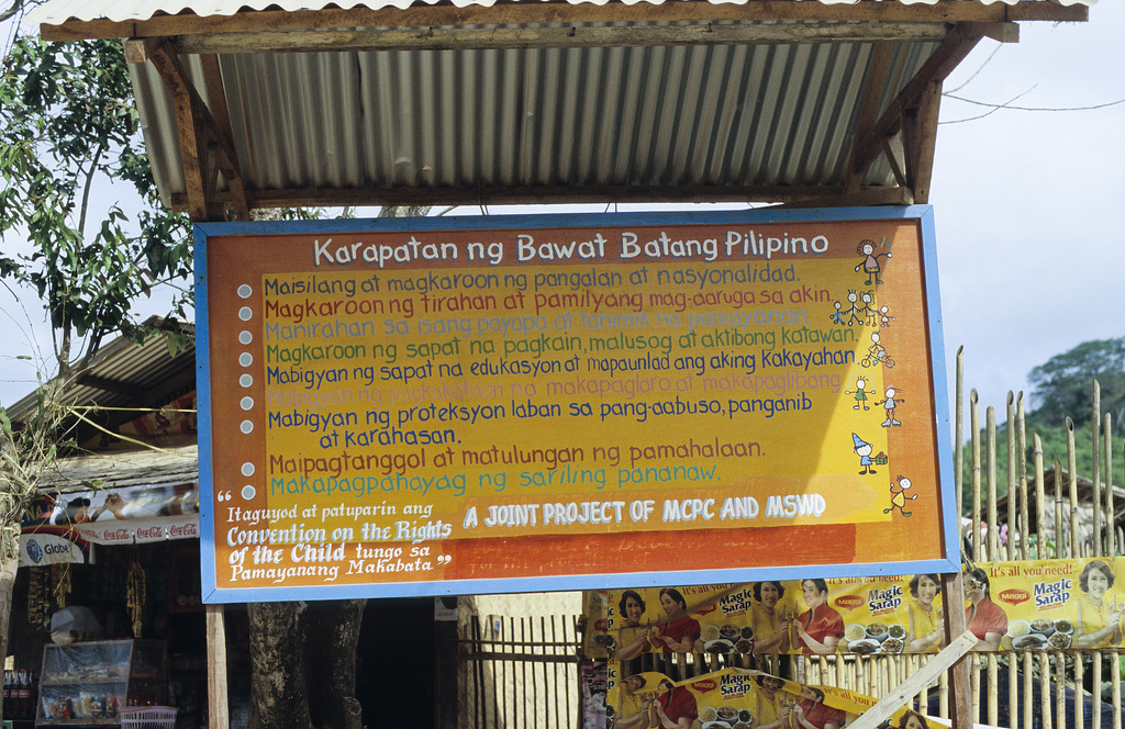
Sign in the Philippines
I made some changes in my plans. I had a flight from Taipei to Manila on March 1st at one o’clock in the morning. There were some problems with that date and I decided to postpone my departure for a month. I could have paid a fee and simply changed the date of my flight. However, the fee for changing the date was as much as the original fare (which was pretty cheap anyway). And I had not been entirely happy with my decision to fly into Manila. So since I was changing the date of my flight anyway, I figured I’d change my destination, too. I ended up booking a flight to the smallish city of Legazpi on March 31st at the usual one o’clock in the morning. It’s on Cebu Pacific Air, as always. The first leg is from Taipei to Manila. It’s a 2-hour flight that arrives at 3:35 in the morning. It’s an international flight, of course, and it arrives at the international terminal. The next portion of my journey is from Manila to Legazpi. It’s a domestic flight, so I have to transfer from the international terminal to the domestic terminal. That is pretty easy to do. You simply go out the doors of the airport, turn left and walk about 50 meters to the doors into the domestic terminal. You have to go through security at various points, but that’s no biggie. I’ve done this before on several flights, so I kind of know the drill. This flight is a short one at just one hour. It departs at 7:50 in the morning and arrives at 8:50.
My main reason for choosing Legazpi is that it is a relatively small place. The official population number is about 180,000. That’s not particularly small, I suppose, but compared to Manila’s many, many millions, it is very small indeed. I was thinking ahead to landing in Manila and how I was either going to assemble my bike at the airport or somehow transport my bike box to a guest house and assemble it there. Both options seemed a bit stressful. In Legazpi, things will surely be much more relaxed. I could probably assemble the bike at the airport. If not, I’m sure it will be easier to arrange transportation and get to a cheap hotel.
Legazpi is also in a nice location for me. From there, I could head north or south, whichever appeals to me. (I haven’t decided if I want to revisit northern Luzon.) Legazpi also has a very dramatic setting with the famous Mayon Volcano looming nearby. Mayon Volcano is pretty high at 2,463 meters and is the most active volcano in the Philippines. It’s also one of the most symmetrical volcanoes in the world with a nearly perfect cone shape. If you’ve looked at tourism websites for the Philippines, you’ve almost certainly seen a dramatic photo of this volcano. Donsol, a now world-famous center for swimming with whale sharks, is also near Legazpi. Seeing a whale shark in the ocean has been something I’ve wanted to do for a long time.
I started reading about Legazpi the other day, and that quickly led me into thinking about how the Philippines is organized in terms of geography and government. The thing is that as I read, I was quickly hit with all kinds of names that I didn’t recognize, names like Bicol and Sorsogon. I backed up a bit and did some research on this to get things straight in my head. Here is what I learned:
The Philippines is an island nation of course. I don’t think anyone has the definitive answer on just how many islands there are. That would mean having to define exactly what is an island and what isn’t. I’m sure there are debates about that. However, I did come across the figure of 7,107 many times. And that’s the number I’m going to stick with. The Philippines, then, is made up of 7,107 islands. Those islands are divided into three main island groups: Luzon, the Visayas, and Mindanao. Luzon itself is the largest island in the Philippines. This is the big northern island where Manila is located. Luzon itself plus the many smaller islands around it make up the Luzon island group. The center chunk of islands are known collectively as the Visayas. Mindanao is the very large island in the extreme south. Mindanao plus the islands around it make up the Mindinao island group.
These three island groups are divided into seventeen regions. The town of Legazpi, for example, is in the Bicol Region. (The Bicol Region is also known as Region V.) The Luzon island group has eight regions, the Visayas island group has three regions, and the Mindanao island group has six regions. This is how it breaks down:
1. Luzon
i. NCR – National Capital Region
ii. CAR – Cordillera Administrative Region
iii. Region I (Ilocos Region)
iv. Region II (Cagayan Valley)
v. Region III (Central Luzon)
vi. Region IV-A (Calabarzon)
vii. Region IV-B (Mimaropa)
viii. Region V (Bicol Region)
2. Visayas
i. Region VI (Western Visayas)
ii. Region VII (Central Visayas)
iii. Region VIII (Eastern Visayas)
3. Mindanao
i. Region IX (Zamboanga Peninsula)
ii. Region X (Northern Mindanao)
iii. Region XI (Davao Region)
iv. Region XII (Soccsksargen)
v. Region XIII (Caraga)
vi. ARMM (Autonomous Region in Muslim Mindanao)
Each region is divided into provinces. As far as I can tell, the province is the most functional and most important of the various administrative units. There are 80 provinces in total. This is how those are grouped by region:
1. Luzon
i. NCR – National Capital Region
ii. CAR – Cordillera Administrative Region
1. Mountain
2. Ifugao
3. Benguet
4. Abra
5. Apayao
6. Kalinga
iii. Region 1 (Ilocos Region)
7. La Union
8. Ilocos Norte
9. Ilocos Sur
10. Pangasinan
iv. Region II (Cagayan Valley)
11. Nueva Vizcaya
12. Cagayan
13. Isabela
14. Quirino
15. Batanes
v. Region III (Central Luzon)
16. Bataan
17. Zambales
18. Tarlac
19. Pampanga
20. Bulacan
21. Nueva Ecija
22. Aurora
vi. Region IV-A (Calabarzon)
23. Rizal
24. Cavite
25. Laguna
26. Batangas
27. Quezon
vii. Region IV-B (Mimaropa)
28. Occidental Mindoro
29. Oriental Mindoro
30. Romblon
31. Palawan
32. Marinduque
viii. Region V (Bicol Region)
33. Catanduanes
34. Camarines Norte
35. Sorsogon
36. Albay
37. Masbate
38. Camarines Sur
2. Visayas
ix. Region VI (Western Visayas)
39. Capiz
40. Aklan
41. Antique
42. Negros Occidental
43. Iloilo
44. Guimaras
x. Region VII (Central Visayas)
45. Negros Oriental
46. Cebu
47. Bohol
48. Siquijor
xi. Region VIII (Eastern Visayas)
49. Southern Leyte
50. Eastern Samar
51. Northern Samar
52. Samar (Western Samar)
53. Leyte
54. Biliran
3. Mindanao
xii. Region IX (Zamboanga Peninsula)
55. Zamboanga Sibugay
56. Zamboanga del Norte
57. Zamboanga del Sur
xiii. Region X (Northern Mindanao)
58. Misamis Occidental
59. Bukidnon
60. Lanao del Norte
61. Misamis Oriental
62. Camiguin
xiv. Region XI (Davao Region)
63. Davao Oriental
64. Compostela Valley
65. Davao del Sur
66. Davao del Norte
xv. Region XII (Soccsksargen)
67. South Cotabato
68. Sultan Kudarat
69. Cotabato (North Cotabato)
70. Sarangani
xvi. Region XIII (Caraga)
71. Agusan del Norte
72. Agusan del Sur
73. Surigao del Sur
74. Surigao del Norte
75. Dinigat Islands
xvii. ARMM (Autonomous Region in Muslim Mindanao)
76. Tawi-Tawi
77. Basilan
78. Sulu
79. Maguindanao
80. Lanao del Sur
Going further down the chain, these provinces are divided into 1,494 municipalities and those are subdivided into 42,026 barangays. Mixed in are 140 cities. I think this kind of information would be handy for anyone traveling around the Philippines. The Filipinos are very civic-minded people and one sees large billboards for local government and civic projects absolutely everywhere. It would be useful to be able to read these billboards and figure out what they’re all about – whether it’s related to the barangay, the municipality, the province, or even the entire region. I wonder if the people in the Philippines are aware of all the details of where they live. Do they know exactly what barangay, municipality, province, and region they live in?
Now that I think about it, what exactly is a barangay? Is that simply the Filipino name for a village or town (ie. anything smaller than a city)? When one looks at a standard map and sees hundreds of little dots with names beside them, are these barangays? The relevant Wikipedia article states, “A barangay is the smallest administrative division in the Philippines and is the native Filipino term for a village, district, or ward.” But does that mean that a barangay and a village are the same thing? If you asked someone where they were from, would they tell you the name of the barangay? (Interestingly, the word barangay itself comes from “balanghai”, the name of a boat used by Austronesian people when they sailed to the Philippine archipelago.)
Spread out over these 42,046 barangays are 92 million people. With over 92 million people, the Philippines is actually one of the largest countries in the world by population. According to the lists I’ve seen online, it ranks as #12 just after Mexico and Japan. Geographically, however, it isn’t a big place. At about 300,000 square kilometers in land area, it ranks as the 73rd largest in the world. (Indonesia, the Philippines’ island nation neighbor comes in at an astonishing 1.9 million square kilometers.) This area and population give the Philippines a population density of 308 people per square kilometer. That compares to 644 for Taiwan (where I currently live), 141 for China, 124 for Indonesia, 74 for Cambodia, 34 for the United States, and 4 for my home country of Canada. I don’t think that means the Philippines is particularly crowded. Taiwan, according to its population density, is one of the most crowded countries in the world. Yet, it’s quite comfortable here and there are large empty areas of mountain and forests. On my previous travels in the Philippines, I’ve found that there is more than enough space to feel comfortable and stretch your legs – or turn your wheels.
I did a bit more reading about barangays, but I don’t know yet just how they relate to actual villages and towns. Are they same thing or different? If so, then what is a village in terms of local government? I did learn that barangays are run by a council of elected officials. The council is known as the sangguniang barangay. The members of the sangguniang barangays are known as barangay kagawad (councilors). The top barangay official is the punong barangay. This would be something like the mayor. The punong barangay is addressed as kapitan. So I guess if you wanted to speak to the local “mayor”, you would ask to speak to the barangay kapitan.
Each barangay would have a barangay hall where the sangguniang barangay would hold their meetings. There is also a tanod, or barangay police officer. This person is like an unarmed watchman and keeps an eye on things.
I’m not sure they fit in, but there are also youth councils. This council is called a sangguniang kabataan. This youth council oversees the youth in each barangay, the katipunan ng kabataan.
Under the Spanish, the word “barrio” was in common usage to describe this lowest and smallest administrative level. It was Ferdinand Marcos who decreed that the word “barangay” should be reinstated. “Barangay” is the official word today and in common usage, but many older people might still use “barrio.” I did a quick search online, and there seemed to be some confusion about the difference between a barangay and a barrio. Officially, I think they are the same thing. Barangay is just the new official word for barrio. However, some people argued that they are different. They argued that a barrio is a smaller unit than a barangay. They also argued that barrio is used for settlements that are more remote.
Tags: barangay, bike, Mayon Volcano