Sandiaoling Waterfall Trail
I’d been interested in hiking along the Sandiaoling Waterfall trail for a while now. I’d read about it on Richard Saunders’ blog here and Stu Dawson’s blog here. It appeared to be a relatively easy hike without a lot of long climbs yet with a lot of scenic spots along the way. I haven’t gone in the past partially because I wasn’t sure about the starting point. It’s easy if you take the train. You just get off at the Sandiaoling train station on the Pingxi line and then walk along the train tracks for less than half a kilometer. However, I didn’t want to take the train. I wanted to drive there, and I wasn’t sure how to drive to Sandiaoling or if it was even possible. I figured out, though, that it was probably possible to get there by going to Houtong and then driving along the river and railroad tracks. I knew how to get to Houtong. That was easy enough. And after a careful look at Google Maps, I figured it was probably possible to drive from there to Sandiaoling. And if not, it was probably possible to walk there.
So I set off on Saturday morning. With the drive to Houtong and back, I knew it was going to be a relatively long day, so I was on the road by 7:30. It has gotten a lot cooler in the last few days and most people on scooters around me were bundled up in heavy jackets and even wearing hats and gloves. Since I was going hiking, I stuck with my customary shorts and a T-shirt. As everyone tells me, being a Canadian, I must be used to the cold.
I think people were aware that this might be one of the last few clear and sunny days before the gloom and chill of winter sets in, and despite the early hour, the roads were jammed with cyclists and motorcyclists. I stopped again at the route 106 intersection with the 7-11 and the OK Mart for a morning coffee. Lots of other people had the same idea and it was hardly a soothing and relaxing time. The traffic noise was crazy considering that we were all out for a relaxing weekend jaunt. It was more like the atmosphere at an Indy 500. There were a lot of cars on the road, too, and the drive along Route 106 was pretty challenging. The cyclists are at the low end of the traffic food chain, of course. Despite that – despite risking their lives with tons of steel rushing past them with just inches to spare – they wandered all over the road. I’m always surprised at that. Despite the horrendous driving on display in Taiwan, people have tremendous faith in their fellow drivers. They wander all over the road without a care, trusting that everyone will just get out of their way or otherwise not hit them. The surprising thing is that it generally works. As a cyclist myself, I always stick as close to the right edge of the pavement as possible and I ride in a straight line without any sudden turns or swerves. You have to do that in Canada or you’ll be hit by a car. In Taiwan, the cyclists just wander all over the place as if there isn’t steel death rushing past them at all times. Even cyclists crossing the road from one side to the other simply go without looking. One cyclist ahead of me was on the opposite side of the road and he actually made eye contact with me and THEN he pushed off and went across right in front me. He seemed to actually be timing his trip so that we would collide. I had to slow down quickly and swerve out of the way or I would have run right into him. And yet the cyclist seemed to have done this on purpose. It’s weird. Scooter drivers and car drivers do this all the time of course – it’s the “no look” school of driving so prevalent in Taiwan. Yet, I’m surprised that cyclists do it, too. I suppose I shouldn’t be surprised. Even pedestrians do it. It’s just the way people get around.
At the far end of route 106, there is a large white weather station at the top of a mountain/hill. I’d seen it dozens of times, and each time I’ve made a mental note that I should drive up there to check it out. I wasn’t sure that a public road led there, but there might be and the view would be worth the effort. This time, I decided to finally check it out and when I got to the turn-off, I turned down it and started climbing. There was a sign that buses were not allowed up that road, but it seemed that it was open to cars, scooters, and cyclists. A bus was parked a short way up the road and fifty or so people were hiking up the road with umbrellas for the sun and cameras for the view. I guess they were going to walk up to the weather station. A lot of cyclists were also slowly climbing up to the top – for the challenge and the exercise, I guess. Most of the bikes I see on the road are lightweight racing bikes, and I don’t think they have the gearing ratio that makes such steep climbing reasonable. It doesn’t stop them, however, and lots of cyclists go up these extremely steep grades – standing on the pedals and throwing their entire body weight and strength into each revolution. I keep expecting the chain to break. I tend more to the granny gear approach and just spin my legs around like a top and slowly work my way to the top. Of course, I haven’t done anything like that for a very long time. The last bike trip I took was about 3 years ago. Since then, I’ve done all my traveling by scooter. I plan to do some traveling by bicycle again pretty soon, but I much prefer riding my scooter around Taiwan.
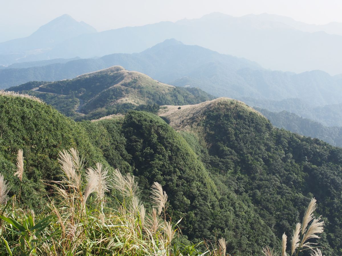
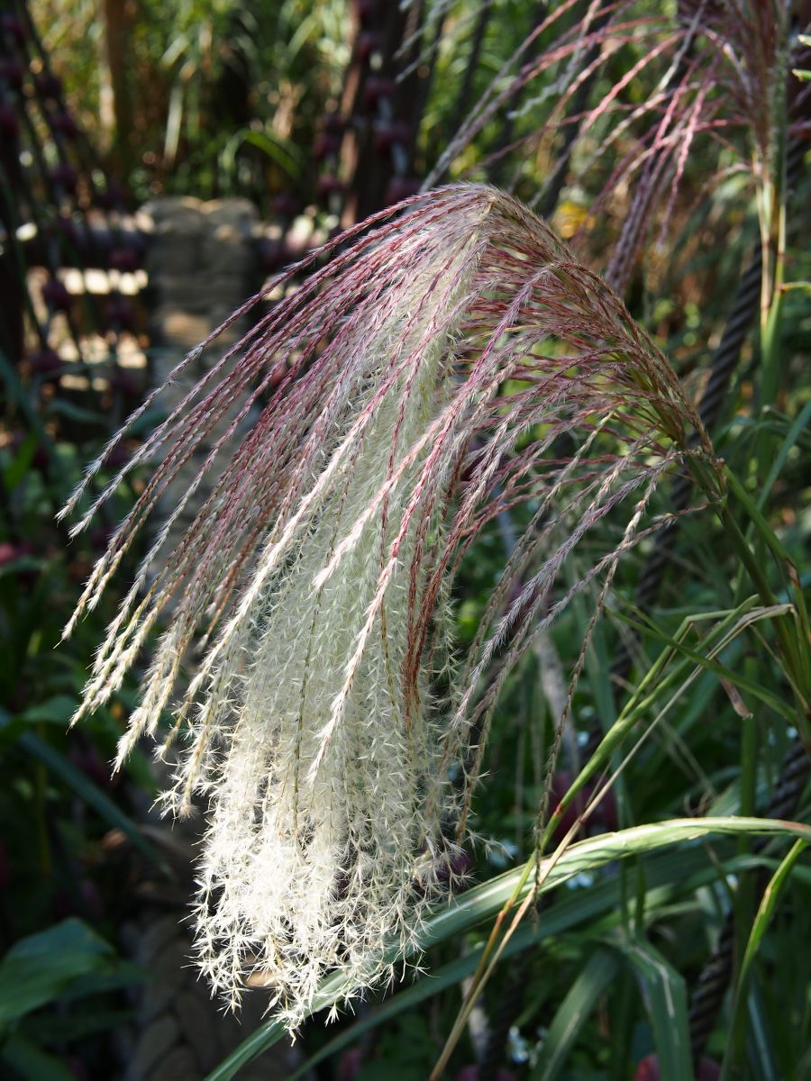
The drive up to the weather station was quite fun. The road was in perfect condition and it twisted and turned slowly to the top with fields of tall silver grass on all sides and beautiful views of the mountains and the coast opening up the higher I climbed. It was a very hazy morning, so the views weren’t clear, but it was still quite beautiful up there and I hung out for a while snapping pictures. I noticed that a trail begins from near the top of the road. It goes along the ridge line, I assume. The sign said that it takes about 2 hours to get to the top of a nearby mountain. I assume that the trail links up with other trails in the area and one could continue hiking and go to Shihfen or Pingxi or any number of other places. The mountains in Taiwan are not criss-crossed by trails so much as drowning in them. It actually gets me in trouble on my hikes. The map at the beginning of a trail will show a clear path and route and I set off with confidence. But the map isn’t entirely accurate because there were will be dozens of other trails branching off in other directions and it’s easy to get confused and lost. The map makes it look simple but it rarely is. I comfort myself with the thought that I can just backtrack along the same trail. Yet, even when I backtrack, I always take a wrong turn and get lost. Of course “lost” is a relative concept. I’m never actually lost. I just end up on a trail that I didn’t intend being on and ending up in a place I didn’t intend ending up in. Then I have to work my way back around to wherever I parked my scooter. It always works out in the end.
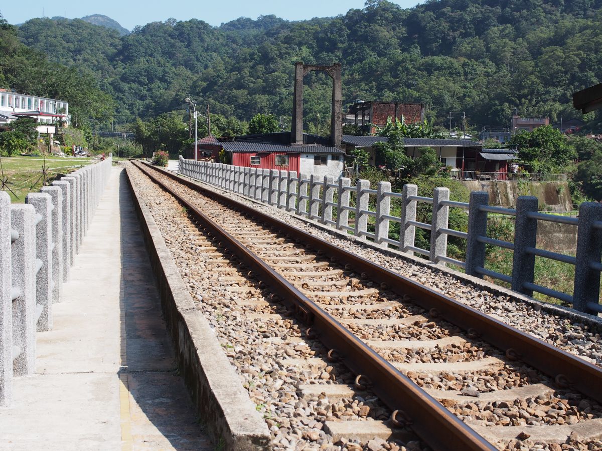
It was an easy and pleasant drive from the weather station down to Ruifang and then on to Houtong. Houtong is known as the cat town. Local people began adopting stray cats at some point in the past, and now the town is full of cats. People come out in their hundreds on the weekend to see the cats. However, there is a lot more to Houtong than the cats. I really like the place. It’s located in a very scenic river valley and the town around the train station is very interesting. It’s a great place to walk around and take pictures – whether you have a cat in your picture or not. All the train tracks – the major ones and the branch line going to Pingxi – pass through here and there is lots of activity with trains racing through – some stopping and some not. Houtong, along with all the other towns on this rail line, is an old mining town. There is a mining museum there and a restored industrial facility of some kind. This facility is like an old iron smelter or coal smelter or something. I really like that place. Rather than restore it, the designers simply left the place in disrepair and surrounded it in plexiglass and made it possible to walk around it. It’s basically an abandoned and rotting set of buildings that you can safely walk around. It’s an interesting idea. There are lots of other restored buildings around, such as a dormitory for the miners. And there is the usual assortment of snack shops and restaurants for the hordes of weekend visitors. It’s a fun and bustling place.
My goal for the day wasn’t Houtong, but I stopped at the local information center to see if they could give me any information about driving from there to Sandiaoling. I couldn’t get any information from there, but it didn’t matter. It was an easy thing to do. I simply drove through Houtong and followed the road out the other side. Eventually, I had to cross over a bridge to the left and then the road continued along the river until it reached Sandioaling. It’s pretty confusing when you get to the end with roads and train tracks going off in different directions, but I worked my way through it and found myself in a very pleasant little village with a nice gravel lot where I could park my scooter under an overhanging tree.
I’m not entirely convinced this village was called Sandialing. The hike to the Sandiaoling Waterfalls certainly began from there. There were signs here and there pointing the way. But the local school appeared to be called something else. I forget the name now, but it was something like Shekouren.
I didn’t know for sure that I was in the right place, but I parked my scooter and then set off through the village. It was a beautiful little place set right at the bend of a river. A couple of interesting coffee shops/restaurants had opened up to take advantage of the weekend visitors, and I felt great as I walked along. There weren’t many people around, but those that were all made eye contact with me and said “Hello” and “Good morning” in English. I was very surprised. The Taiwanese are very friendly, but I never find myself being greeted randomly by people. The only place that has happened was on Lanyu, and I remember how surprised I was at that. Anyway, I walked through this little village with people greeting me to left and right. I knew the trail started somewhere near the railroad tracks, so I made my way across the river on a bridge to the railroad tracks. There were beautiful views of the river and the area from the bridge. A short distance along the railroad tracks, I came to a large sign pointing the way to the waterfall trail and I started to walk along it. The trails in this area and in Taiwan in general are actually all quite old. They are recreational hiking trails today, but they began as routes for local people traveling from place to place – going to market to sell their goods and that sort of thing. As such, they are somewhat organic. They pass through towns and villages and farms and other settlements. That means you sort of have to find your way and have faith that you are on the trail. In the mountains and in the forests, it might look exactly like a hiking trail. However, the trail could easily pass through a settlement and then you just have to walk through the settlement and try to find the spot on the other side where the trail picks up again. The trail could also reach a road – a spot where the trail has been replaced by tarmac. Then you walk along the tarmac and keep your eyes peeled to left and right to see where – and if – the trail picks up again on the other side. As such, I often get confused. I was standing right in front of the sign for this waterfall trail and on the sign it was all perfectly clear and simple. However, I still didn’t know which way to go. I saw the “You are here” smiley face. And I saw the line for the trail and the arrow pointing the way, but it wasn’t clear where I should go. That happens all the time in Taiwan and I end up standing in front of these signs thinking and looking around. I often close my eyes and try to get oriented with my inner compass since the signs don’t follow any standard for pointing north. North can be in any direction at all, and you have to mentally swing the map around to get it oriented. I often end up with a mixed up internal compass and I have no idea which way north is anymore. It’s weird when that happens. My body will be convinced that north is in one direction. Yet I know logically it is south. Yet, I can’t somehow wrench my internal compass out of that pattern. Digital cameras help with this. I generally take a picture of the map and then I can refer to it later when I come across other maps and then somehow put it all together.
In this case, I decided that the trail started on the steps and alleyways right in front of me, and I started walking. I was just walking in and among a bunch of buildings and houses, but I had chosen correctly and the houses quickly disappeared and I was hiking along a wide and beautiful path.
Many trails in Taiwan begin with a long hard climb up hundreds of stone steps. This trail, however, only had a few at the beginning. Then it levelled out and I was walking along a wide dirt and stone path through beautiful forest. It was a clear day and the sun had been very hot on my neck when I was in Sandiaoling and on my scooter. I was worried about that since I hadn’t bothered to bring any kind of sun protection. However, the main trail was very cool and dark. The tree branches arched above the trail and it was cool and shady underneath.
It was a very pleasant walk and I crossed a couple of interesting bridges made of cable and rope. They were suspension bridges with thick cables, but instead of holding up a wide platform, the cables came together in a V-shape at the bottom and ropes as thick as my calves were twisted and braided together to form a base that you walk along. It must be a simpler type of bridge to engineer and build. The downside is that only one person can cross at a time, and you do bounce up and down a little bit and have to hold on tight.
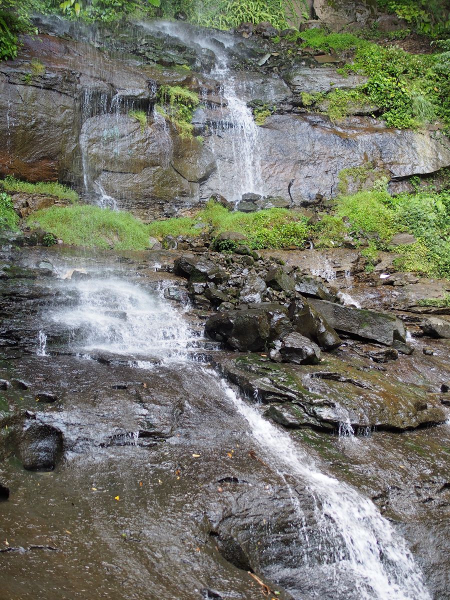
All the signs I’d been following referred to the Sandiaoling Waterfall, but I never did see a waterfall with that name. The first waterfall I came to was called Hegu Waterfall. It had been relatively dry recently and there wasn’t much water coming over the falls, but it was still a beautiful spot and I hung out for a while taking pictures and enjoying the sound of the falling water. It was possible to walk up to the cliff and then walk a short distance along a natural ledge in the rocks nearly right behind the waterfall. It was pretty wet and muddy back there, but it was a beautiful spot. I could see it being quite dramatic after a heavy rain.
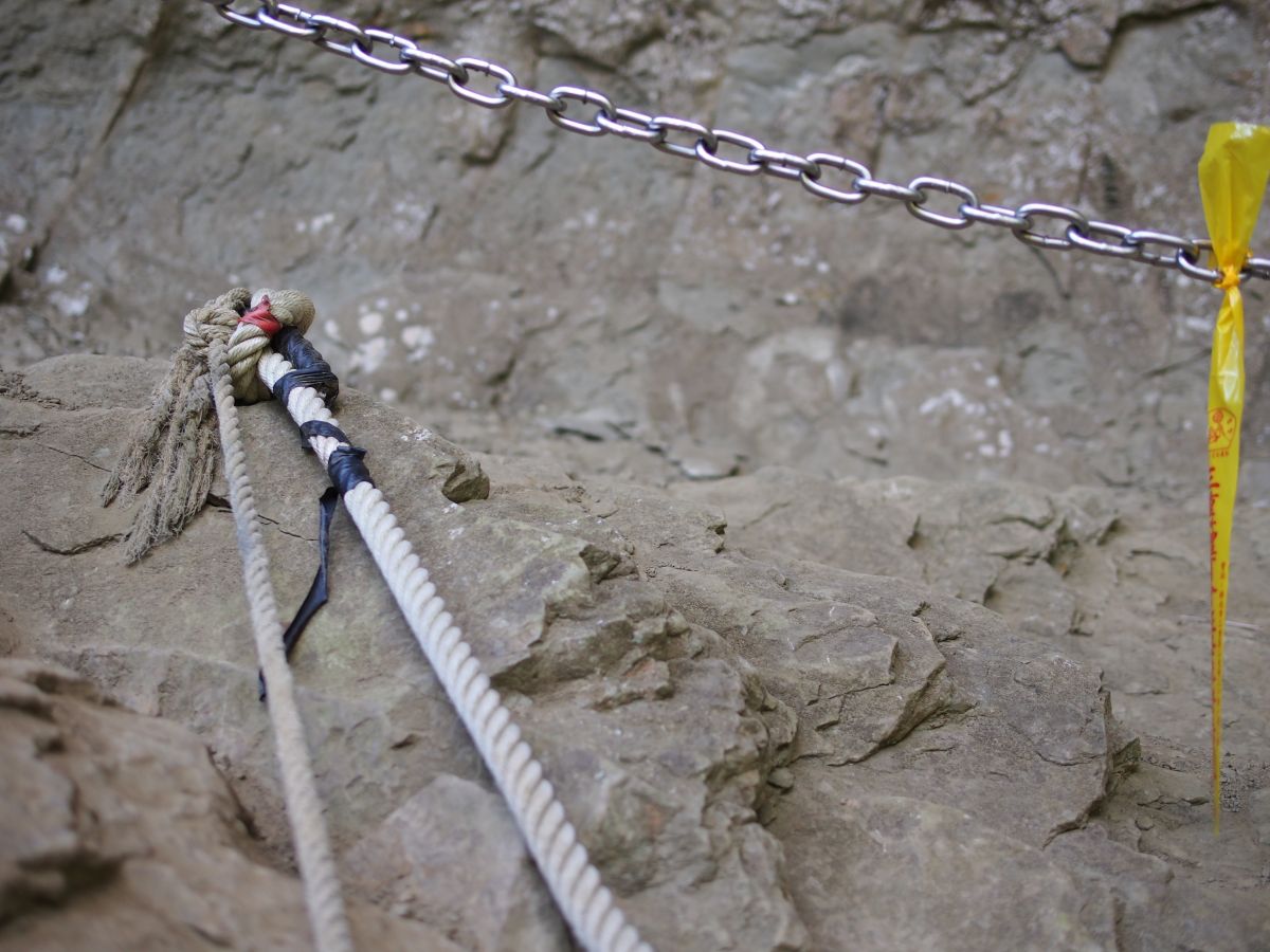
The trail climbed a bit after this waterfall, and then I came to a high ladder made out of cables and logs. I’ve seen lots of different climbing aids on the trails in Taiwan – everything from ropes to chains to ladders with rungs made out of cold steel. This was the first ladder I’ve seen made entirely out of thick logs. It made for easy steps for your feet as each log was squared off and provided a platform nine or ten inches wide. They didn’t provide much grip for your hands, though, and you still had to be careful as you made your way up. The logs were quite damp and slippery, and it would be easy to lose your footing. I imagine a few people have slipped and fallen there.
From the top of the log ladder, it was a short walk to the second waterfall (Pipa Waterfall or Motian Waterfall?), which, from a certain point of view, was almost part of the first one. They were like two stages of the same waterfall connected with a short steam through rock. At that waterfall, in fact, it was possible to walk along the stream bed and go right to the edge of the cliff where the second waterfall plunged down. Perhaps after heavy rains, it would be too dangerous to do this, but since it was so dry, there was little water flow and I could walk right out to the very edge where the water slipped over and fell.
(I’m a little confused about the various waterfalls on this trail. The signs on the trail indicated only 2 waterfalls, which they called Hegu and Motian. Yet, other people refer to the Sandiaoling Waterfalls and Pipa Waterfalls. In the end, I have no idea which waterfalls I saw. It doesn’t matter, of course. They were all beautiful whatever they were called.)
I climbed up some more cliffs along ladders from there and to my surprise found myself on a very wide path – more like a path through a city park than a wilderness trail. There were signs in English there but I couldn’t make any sense out of them and I wasn’t sure if I should go left or right. I eventually chose left as my internal compass was telling me that Sandiaoling lay in that direction. After just a couple of hundred meters, however, I found myself on a road. I had no idea where this road went and after following it for just a short distance, I decided to double back and follow the trail I’d come up on back to Sandiaoling. That seemed the safest option. I didn’t want to spend hours wandering around the mountains and end up with no way to get back to my scooter.
When I turned back, however, I ran into a man and his wife and daughter. I had noticed this man at the waterfalls taking pictures with a Nikon D7000 – the same camera I own and am now selling. I asked this man about this road and where it went. He said that it went to another path that went over some mountains and then down to the railroad tracks between Shifen and Dahua. He tried to explain the route to me, but it was very complicated. In the end, he suggested that I walk with him and he would show me the way. From Dahua or Shifen, I could take the local tourist train back to Sandiaoling and my scooter. I didn’t want to impose on this man’s family time, but he made it sound like it was a short distance to the train tracks, so I took him up on his offer.
It turned out that it was much farther than I imagined and the hike was separated into many different sections – all separated by little chunks of road. It would have been totally impossible for me to figure that out on my own, so I was very glad I hadn’t attempted it. I would still be out there 24 hours later trying to find my way.
I eventually learned that the man’s name was Ted. He was clearly an experienced hiker. He had all the proper hiking gear and he mentioned lots of big hikes in Taiwan that he had done – some requiring several days and camping along the way. He had even gone to Nepal and hiked to Mt. Everest base camp a couple of years ago. We walked along comfortably and chatted about cameras and hiking and travel. I was a bit worried that I was imposing, but his daughter seemed quite happy to have a foreigner in tow. She had an Angry Birds doll with her and she showed it to me proudly. She was very nice and full of energy and ran circles around us as we hiked, constantly picking prickly bushes and delighted in throwing them at her father’s back and getting them to stick on his shirt.
We went up and down a number of times, even passing through a bizarre abandoned amusement park. I mentioned to Ted that I see abandoned and empty buildings like this all over Taiwan, and I often wonder what they are. I could see myself encountering this place on my own and being completely puzzled as to what it could be. Having Ted along as my guide was great because he could clear up these mysteries for me.
We crossed the main river at a big bridge. A maintenance crew was busy painting it a bright red, and as we crossed the bridge, a train passed by on the tracks above us. Once on the tracks, I said goodbye to Ted and his family. They were turning right to walk the three or four kilometers to Shifen along the tracks. I was going left to Dahua. My plan was to simply walk along the tracks all the way to Sandiaoling. It seemed simpler and more pleasant than waiting for the crowded train. Something didn’t seem right about that plan, though, and before I’d made it a few hundred steps along the tracks, I decided to turn back and wait on the Dahua platform for the train. There, I ran into Ted and his family. It seems his wife had had enough hiking for one day and didn’t want to do walk to Shifen.
The train was supposed to run every fifteen minutes or so, but it took a long time for the next train to arrive. I have no idea why the trains were so late, but it was okay. I enjoyed chatting with Ted. His daughter shared some tofu cake snacks with me, and they were quite tasty after the long drive and hike. I mentioned to Ted that I might just walk along the tracks to Sandiaoling. I was tired of waiting for the train. And the train was probably going to be super crowded anyway. He said that walking wasn’t a good idea and when the train finally did come, I saw the sense in his advice. It might be possible to hike along the tracks between Dahau and Shifen and even on to Pingxi and Jingtung. However, Sandiaoling is on the other side of a mountain ridge and the tracks go through several tunnels and follow narrow ledges carved into the river canyon. Walking along that portion looked to be extremely difficult and dangerous if not impossible. There are signs everywhere saying that it was illegal to walk along the tracks – despite everyone doing it anyway. However, for that portion to Sandiaoling, the warning makes sense. It really would be too dangerous to do it. And when I think about it now, it makes sense. When you drive along Route 106, you follow a long river valley. At the end, however, you run up against a solid mountain wall and the road climbs up to the very top and then goes all the way down on the other side. Sandiaoling and Houtong are on the other side of this mountain wall in a completely separate area. The river apparently has carved a path through this mountain wall, but there is no road there and the train can only make its journey through tunnels. Even though I was confused about the geography at the time, perhaps deep down I had made this connection and I knew that it was not reasonable to walk along the train tracks there.
I fully expected the train to be so crowded that we wouldn’t be able to get on, but to my pleased surprise, the train, though crowded, was not super crowded and we got on easily. The train rattled slowly along the tracks and I noted all the tunnels and extremely narrow portions of track and felt relieved that I hadn’t attempted the walk.
The usual deal with this train is that you can buy a ticket that allows you to get on and off anywhere along its route all day long. Dahua, unfortunately, does not have a ticket office, and we had climbed on the train without a ticket. When I get off in Sandiaoling, I was dismayed to see a man in full train uniform standing at a high steel gate checking tickets. I anticipated an awkward situation as I tried to explain that I had gotten on the train in Dahua and it wasn’t possible to buy a ticket there. Luckily, the uniformed train man stopped the people ahead of me. These people were in the same situation and had no tickets and as the confusion started to build, I simply walked past them and out, unnoticed.
Having driven to the small settlement on my scooter, I had never seen the Sandiaoling train station before and I wasn’t entirely sure how to find my scooter again. Nothing looked familiar, but I simply walked along the tracks back towards Dahua and to my relief, I eventually came to the bend in the river where the small settlement was located and where my scooter waited patiently for me.
A couple of pleasant hours of driving later, I was back in Taipei. It had been a long day – a long drive for a relatively short hike – but it had been worth it.

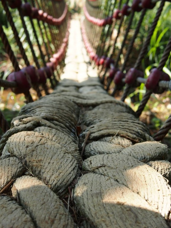
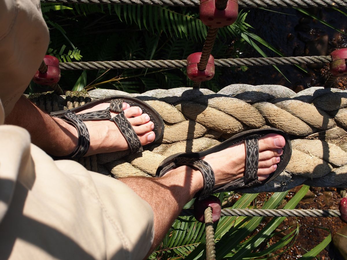



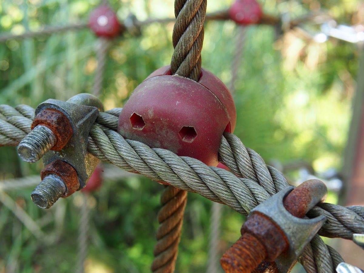
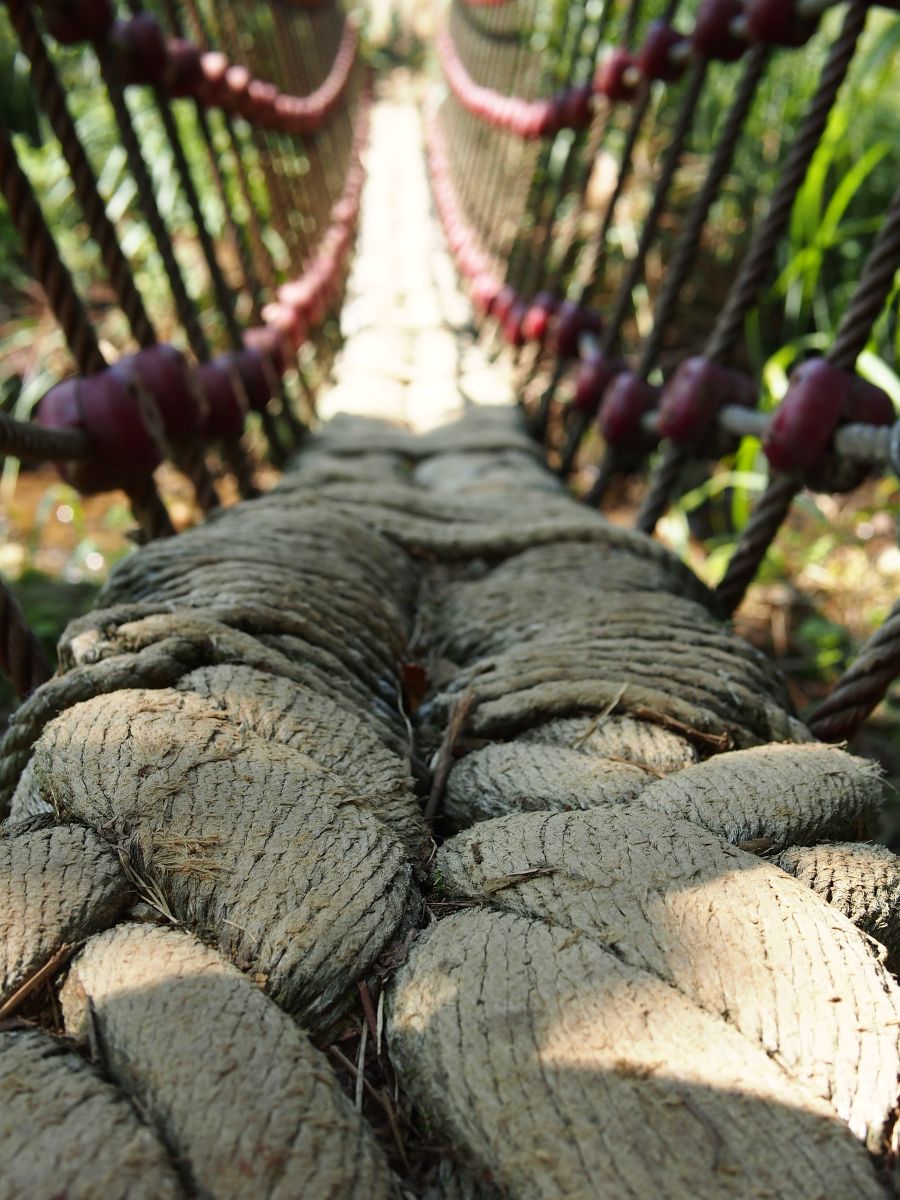

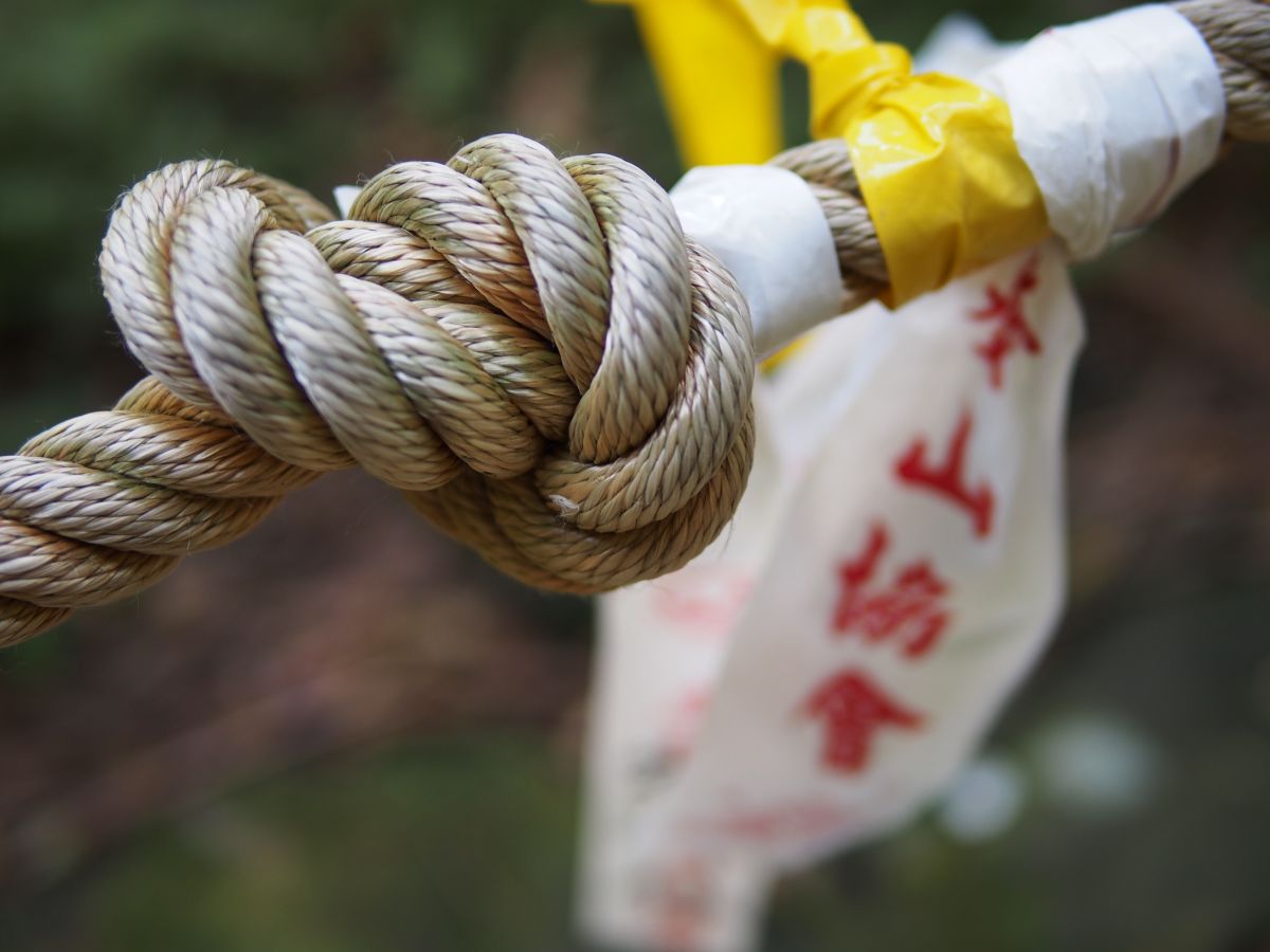
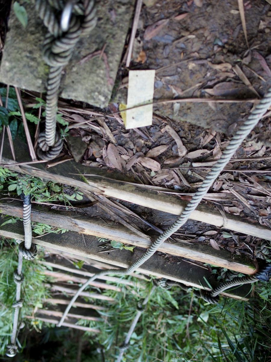
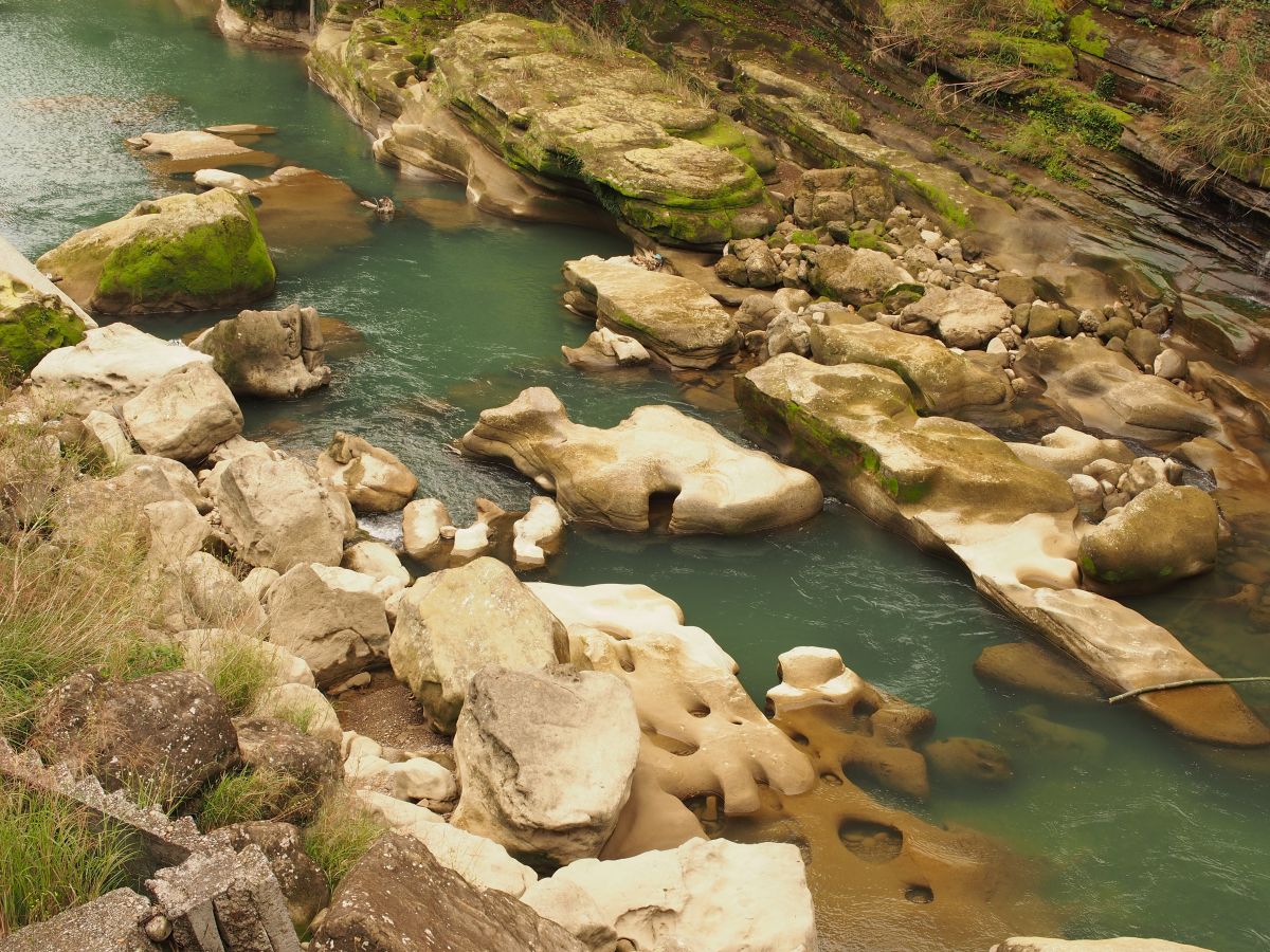
Love your photos – you have a marvellous eye for detail – all the times I’ve walked that trail and (for instance) I’ve never appreciated the beauty of the little rope suspension bridges on the route!
By the way the two waterfalls you saw were actually the upper two: San Diaoling Waterfall itself (below the log ladder) and Pipa Waterfall (above it). Further down (just before the first rope suspension bridge) is the lowest fall, Hegu Waterfall, but because it’s only visible from a patch of dirt to the left of the path it’s easily missed, and these days the vegetation is so overgrown that only the top half of the waterfall is visible anyway. You saw the two best falls though (they’re well worth seeing after heavy rain of course), and you took some wonderful, thought-provoking photos – thanks for sharing them!